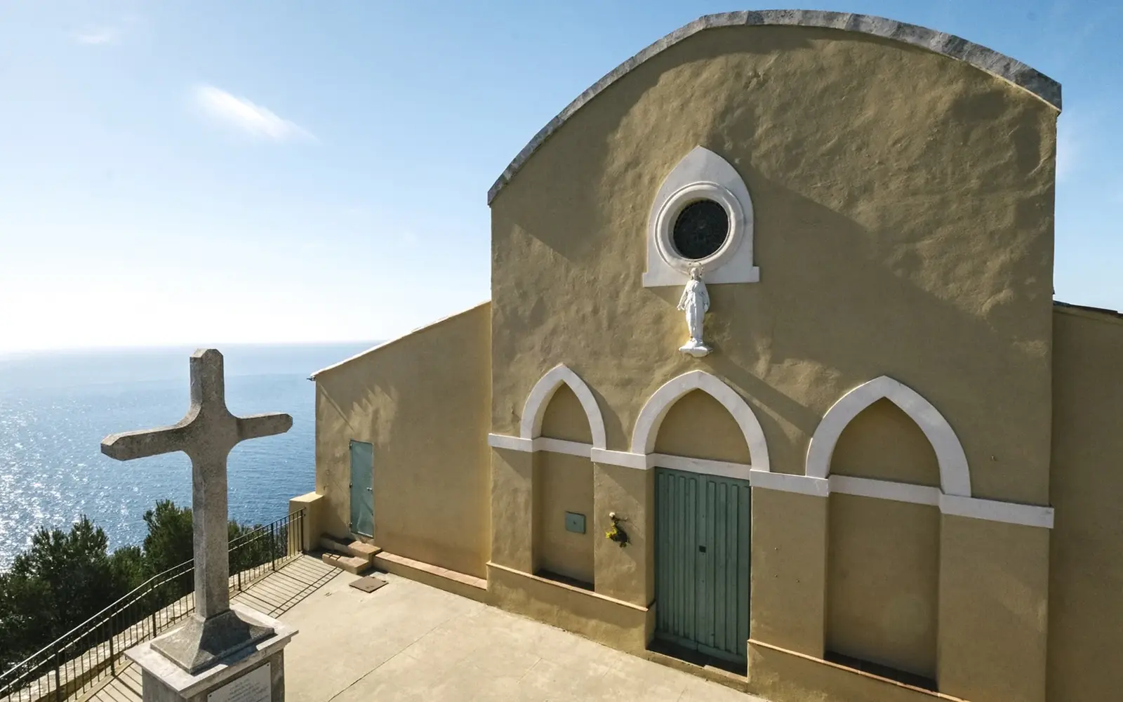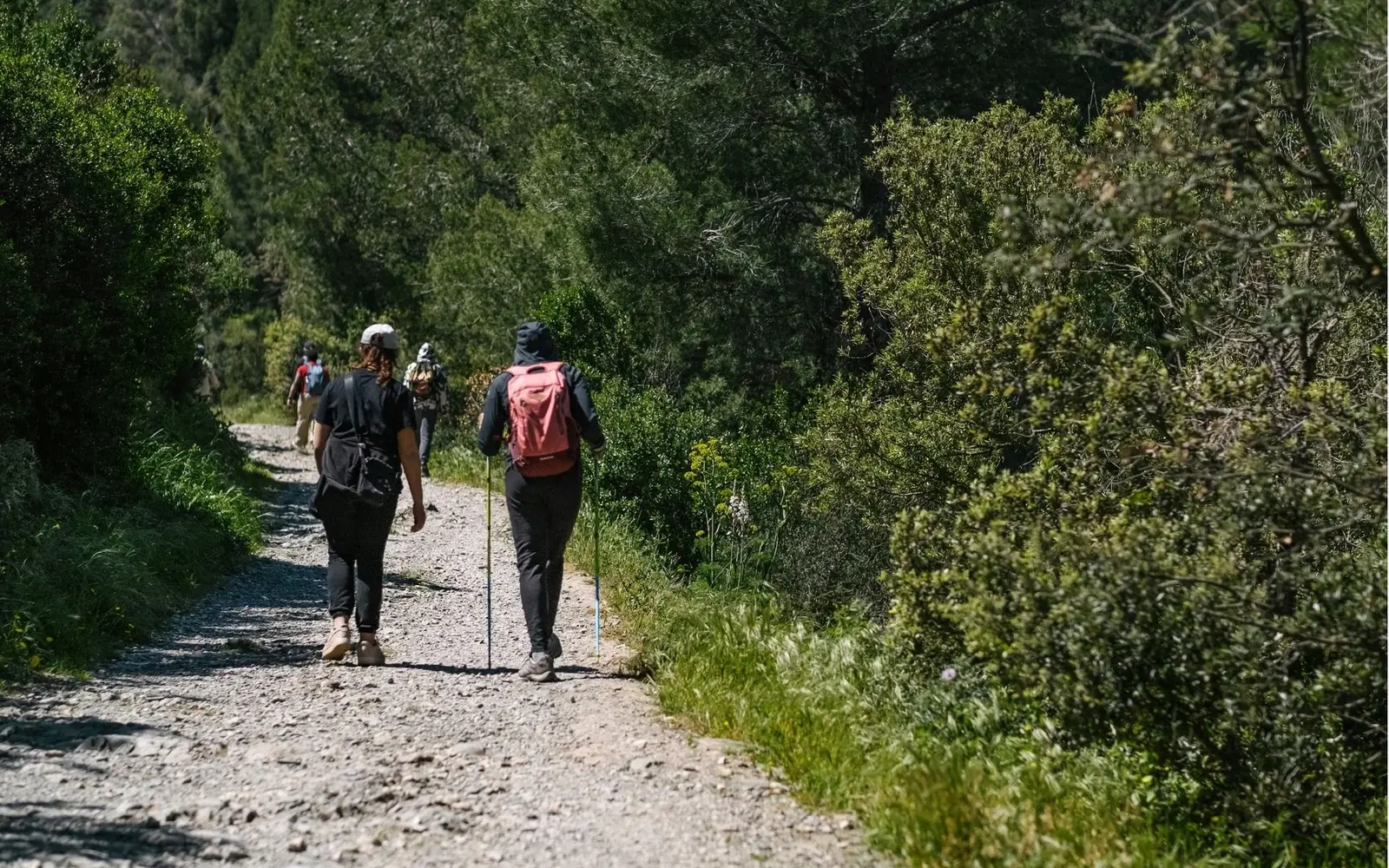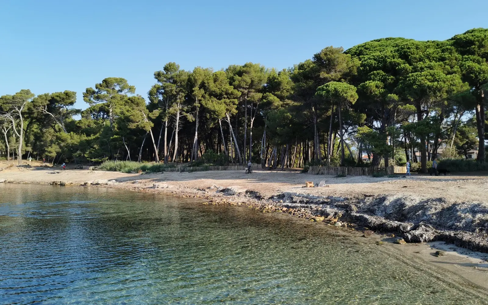


TPM route 6 links the Sainte-Asile pine grove to Cavalas beach via Marégau and La Coudoulière. It follows the coast through pines and steps, with views towards Cap Sicié. The published route takes about 4 hours.
The walk in detail
The tourist office gives four hours for this reference route. It starts at Sainte-Asile, then reaches the areas of Pointe de Marégau, La Coudoulière and Cavalas. Consult the Metropolitan guide for the detailed track, access points and return options. Depending on your arrangements, an additional journey may be needed to regain the starting point.
Pointe de Marégau is a memorable place to look towards Cap Sicié and the Deux Frères rocks. Some sections are narrow or uneven; stop in suitable areas rather than halfway down steps. If you want to swim, choose an accessible beach and favourable sea conditions separately. Seeing a cove does not guarantee a legal or safe route down to it.
Fortifications and the Navy are part of Saint-Mandrier’s identity. The official route notes several heritage features that explain the peninsula’s defensive role at the harbour entrance. Observe them from open areas; an enclosure or barrier marks a real boundary.
Bring good footwear, water, a hat and a map. Steps, climbs and coastal passages make the route more demanding than a stroll along a quay. Rough sea can change exposure on some sections; wind also increases fatigue even when the temperature seems comfortable. Before leaving, check coastal-path information and fire restrictions. With young children, prefer a clearly defined shorter outing at Sainte-Asile instead of automatically committing to all four hours.
Sources
- Office de tourisme Provence Méditerranée
- Métropole Toulon Provence Méditerranée
- Office de tourisme Provence Méditerranée
Information from sources consulted on 25 September 2026.
Planning a stay in Toulon?
Explore GregBnb accommodation and book your stay directly.