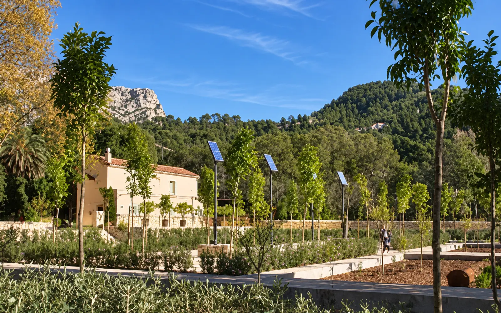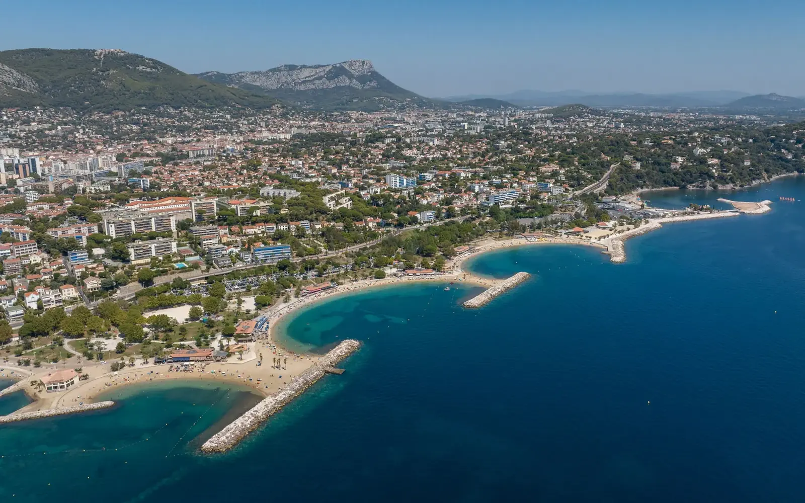


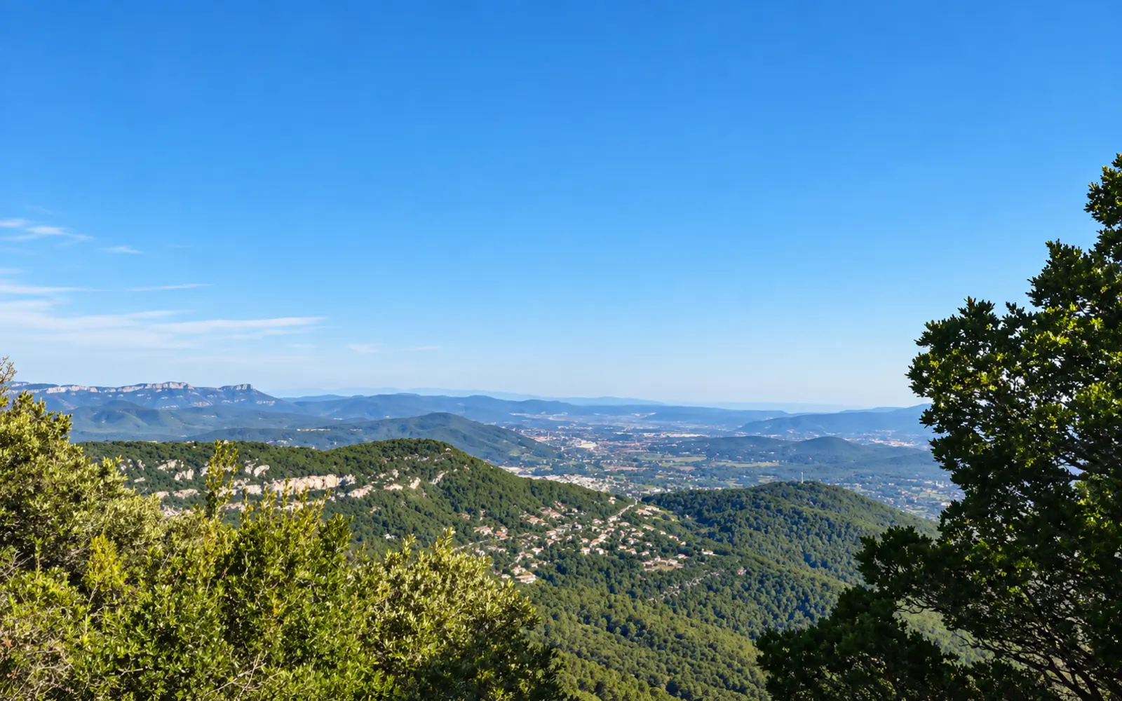
The Montée au Coudon route overlooks the hills and coast. Visorando route 29548 lists 7.27 km, 322 m of ascent and about 3 hours, rated moderate.
The walk in detail
The reference guide gives 7.27 kilometres, 322 metres of ascent and an average duration of three hours, rated moderate. Its highest point is listed as 656 metres. Do not confuse Coudon’s geographical summit, occupied by installations, with the viewpoint actually reached on this itinerary. The route climbs via Petit Coudon to the orientation table, then follows a stretch of road before returning to paths. Allow half a day for access, stops and walking.
The route locates its start near Route des Selves above Solliès-Ville, close to an oratory and a water tank. Consult the reference map beforehand. Some approach roads may be restricted or in poor condition; a prohibition sign still applies when a barrier happens to be open. If you must park further down in an authorised space, your actual walking distance increases. The figures of 7.27 kilometres and 322 metres apply only to the guide’s precise starting point. Do not obstruct residents or emergency access to preserve the advertised distance artificially.
Being close to Toulon does not remove the need for hiking shoes, water and a saved route. Rocky ground, the slope and sun exposure can matter more than a relatively short distance suggests. Choose light winds and check access conditions for the hills. Respect military boundaries and remain on paths open to the public.
Sources
- Visorando, fiche n°29548
- Var Tourisme / Office Provence Méditerranée
- Office de tourisme Provence Méditerranée
Information from sources consulted on 25 September 2026.
Planning a stay in Toulon?
Explore GregBnb accommodation and book your stay directly.